

Police Introduce Digital Tool to Map Accident Scenes Using Satellite Images
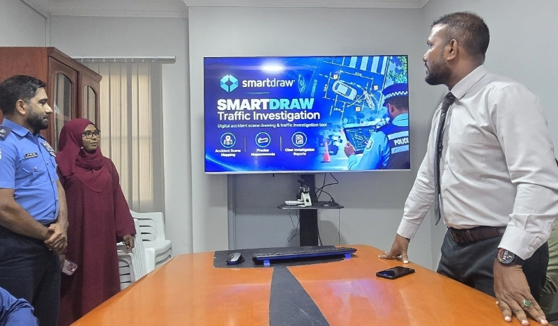
The software, named Smart Draw, has been launched for use by the Traffic Investigation Function under Traffic Police and Road Management.
The Maldives Police Service has introduced digital mapping software to help investigators create detailed diagrams of road accident scenes, using pre-loaded road layouts, vehicle symbols and satellite imagery to improve the accuracy of investigations.
The software, named Smart Draw, has been launched for use by the Traffic Investigation Function under Traffic Police and Road Management.
advertisement

advertisement

The police said that the tool allows investigators to create diagrams of accident scenes using pre-loaded road layouts, including intersections, T-junctions and straight roads. It also includes symbols representing vehicles, motorcycles, traffic signs, streetlights and other elements relevant to accident investigations.
The software also allows investigators to import Google Maps and satellite images to prepare more detailed diagrams of accident scenes.
The police said the introduction of the software would modernise accident investigation procedures, improve evidence documentation and enhance the quality of investigative reports while streamlining operational efficiency.
The Maldives Police Service said it continues to work towards strengthening policing through the introduction of modern technology and additional resources.