
The World Meteorological Organisation (WMO) is driving a landmark international project in the Maldives to map the nation’s fragile ecosystems and strengthen climate resilience across the archipelago.
Executed as a dedicated demonstrator under the “iClimateAction” initiative, the project aims to bridge the gap between environmental research and actionable governance. According to the WMO, the initiative turns scattered climate and ecological data into an integrated, practical system. This ensures findings directly shape government policies and adaptation strategies rather than remaining trapped in static reports.
advertisement

advertisement

This WMO-supported effort brings together key global entities, including the Global Climate Observing System (GCOS), the Group on Earth Observations (GEO), James Cook University, the Allen Institute for AI (AI2), and the United Nations University Institute for Environment and Human Security (UNU-EHS).
WMO reported that the project recently completed an extensive four-week field validation campaign. During these site visits, the teams mapped local ecosystem types while evaluating vegetation, soil, and water health. They also tracked habitat shifts and degradation, cross-referencing their field observations with satellite classifications.
This work builds upon 2019 International Union for Conservation of Nature (IUCN) mapping efforts and ongoing collaboration with GEO’s Global Ecosystems Atlas, supported by the UK’s Department for Environment, Food and Rural Affairs (Defra).
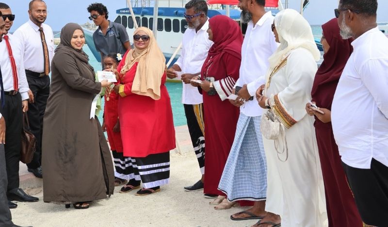
WMO highlighted that during this mission, local experts and international specialists visited coastal zones and islands across the country to verify predictive models against direct on-the-ground observations.
As noted by the WMO, the platform is currently in its final technical review phase involving James Cook University, AI2, and the Maldivian Ministry of Tourism and Environment, harmonising GCOS Essential Climate Variables with IUCN Ecosystem standards.
The Maldives consists of 1,192 low-lying islands, with 80 per cent of its land sitting less than one meter above sea level. Access to accurate, island-specific data is therefore critical to tackling coastal erosion and rising seas, while serving as a replicable model for other Small Island Developing States.